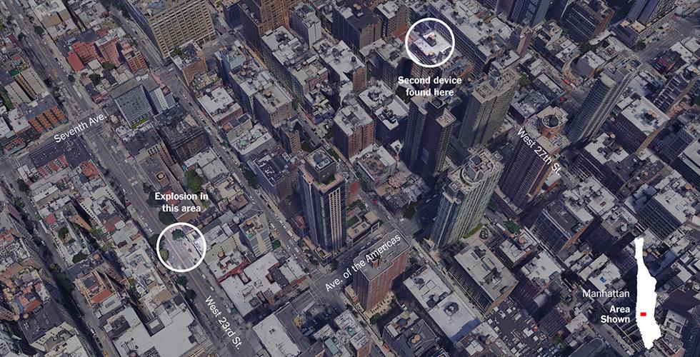
Points Unknown: Cartographic Narratives
An introduction to mapping, representation, satellite imagery analysis, and web-mapping for M.A., M.S., Dual-Degree, and Ph.D. journalism students. Thursday mornings, April 8 to April 29, 9am to 11am.
Introduction to mapping, spatial data analysis, and aspects of journalistic practice (including interviewing and storytelling) for GSAPP students. Spring semester, 12 weeks.
Points Unknown—designed jointly by faculty at the Graduate School of Journalism and the Graduate School of Architecture, Planning, and Preservation—is funded by Collaboratory, a new university-wide program led by the Data Science Institute and Columbia Entrepreneurship to catalyze interdisciplinary curricular collaboration. The Points Unknown team would like to thank Collaboratory for this exciting opportunity.
Grga Basic is an Associate Research Scholar at the Center for Resilient Cities and Landscapes (CRCL) and Adjunct Assistant Professor at the Columbia Graduate School of Architecture, Planning and Preservation. His work and research focus on critical, narrative, and investigative cartography. He joined CRCL in 2018, coming from the Center for Spatial Research. At CRCL, Grga acts as a mapping expert, developing and overseeing spatial analysis and cartographic representations for all Resilience Accelerator projects.
Marguerite Holloway is a professor and Director of Science and Environmental Journalism at the Journalism School. She is the author of a book about a surveyor and inventor named John Randel Jr. — who laid the grid plan on Manhattan in the early nineteenth century and made a series of remarkable maps—and she is author of an introduction to Manhattan in Maps.
Michael Krisch is the Deputy Director of the Brown Institute for Media Innovation at the Journalism School. He is fascinated by novel applications of data, specifically through the use of maps. His most recent mapping project explored the impacts of prison on the families of the incarcerated by mapping inmate placement within the Pennsylvania prison system and averaging commute times for visits.
Juan Francisco Saldarriaga is the Senior Data & Design Researcher at the Brown Institute for Media Innovation. Previously he was the Mellon Research Scholar at the Center for Spatial Research, at the Graduate School of Architecture, Planning and Preservation. Juan works at the intersection of urbanism, data, mapping and design. His most recent projects include a spatial analysis and visualization of forced displacement in the Colombian conflict, and statistical and geographical analysis of taxis in New York City.