Justice Atlas of Sentencing and Corrections
An online tool for mapping the residential distribution of people involved in the U.S. criminal justice system.
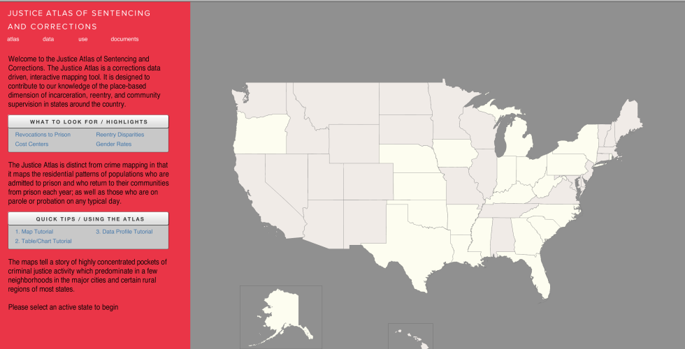
The Justice Atlas of Sentencing and Corrections is an online tool for mapping the residential distribution of people involved in the criminal justice system. It uses aggregated address data to map the flow of people being removed to prison, reentering communities from prison, and the standing population concentrations of people under parole or probation supervision.
The Justice Atlas of Sentencing and Corrections is an online tool for mapping the residential distribution of people involved in the criminal justice system. It uses aggregated address data to map the flow of people being removed to prison, reentering communities from prison, and the standing population concentrations of people under parole or probation supervision.
Thematic Maps
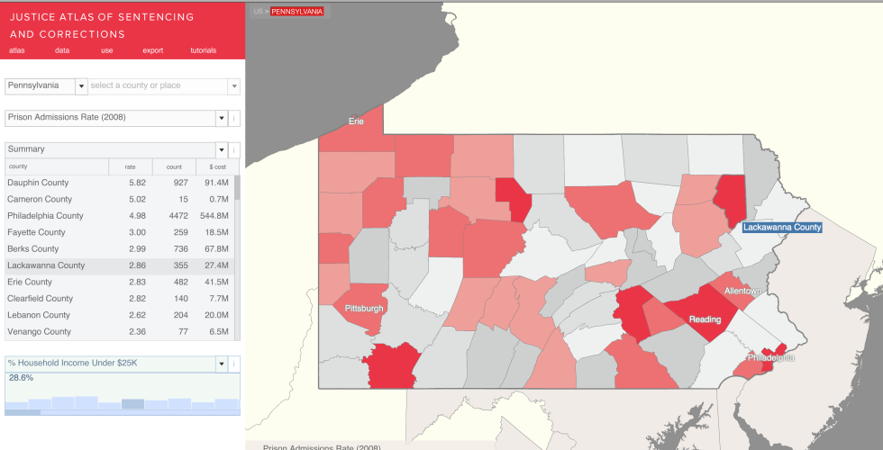
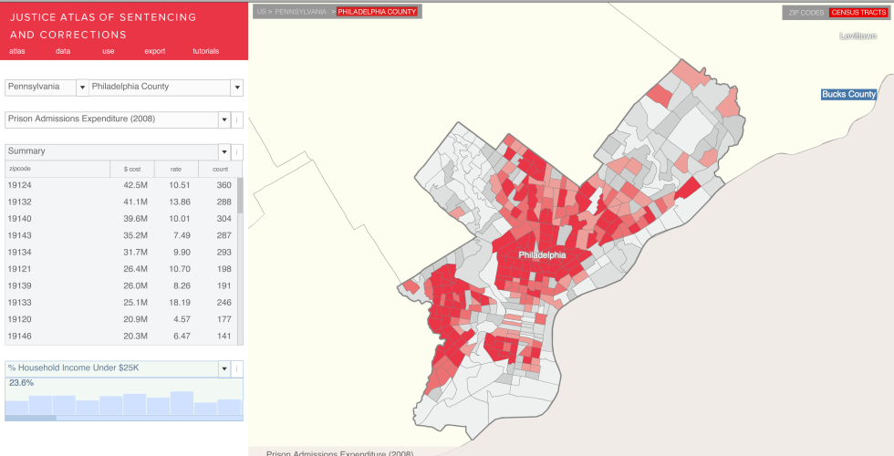
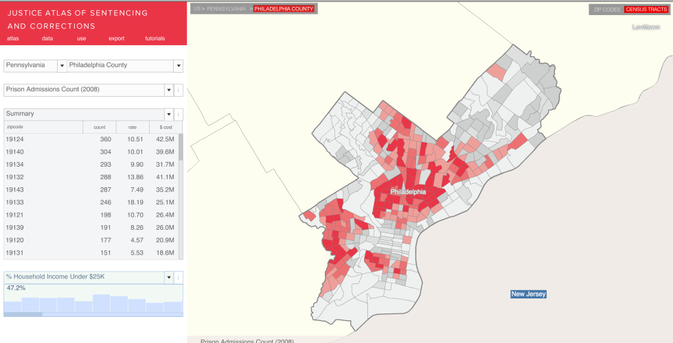
Thematic maps reveal the spatial patterns and disproportionate distribution of people under criminal justice custody or supervision at the state, county, municipal, zip code, and census tract levels.
Analytical Data Tables
For each map a series of supporting tables is available which provide additional data variables, such as number of men and number of women under parole supervision.
Supporting Census Charts
And for further context, the Justice Atlas also provides charts of U.S. Census Bureau data about local conditions, such as median household income or percent single parent households.
The Justice Atlas is designed to be updated each year and expanded to include more states, more data, and more analytical themes.