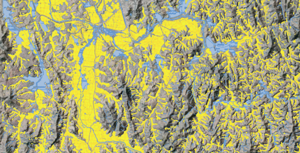
How do historic spatial inequities continue to resonate in the present? In this course we’ll look at the case study of Madagascar’s capital city, Antananarivo to explore how the historic politics of water management continue to inform and inflect the rapid expansion of the city today. We’ll consider the changes and threats to peri-urban agriculture, and map how the agricultural landscape in and around the city is shifting as people increasingly build on the flood plain.
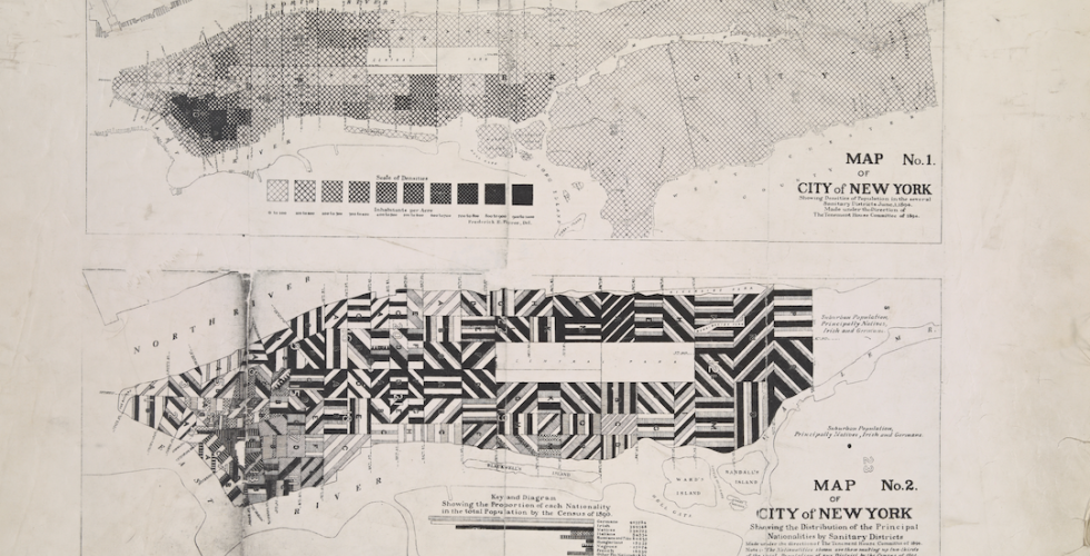
This course explores the role that migrant communities have historically played in the construction of New York as well as the spatial negotiations, frictions, and conflicts derived from their settlement in the city. Architecture and urban strategies have historically participated in the definition of frameworks of belonging for migrant communities. However, they have also been used as tools for the exclusion of minority communities, as an alibi in xenophobic arguments, and as mediators of assimilationist policies.
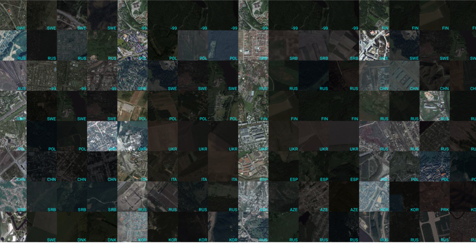
Methods in Spatial Research introduces key concepts required for work with geographic information systems (GIS) and spatial research in the urban humanities.
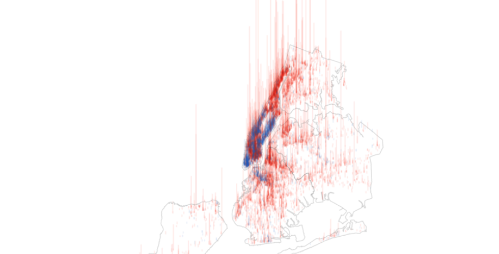
This course introduces key concepts and techniques in interactive data visualization to students who are new to the field of computation and information design. Through a series of in-class exercises and take-home assignments, students will critically engage with visual representations of data and produce interactive visualizations that serve analytical and narrative purposes.