Tutorial 3B: Geocoding Historic Data
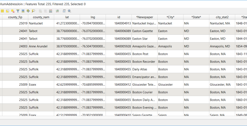
In this tutorial, you will make a map of newspapers in the United States before and after the invention of the rotary printing press in 1843. We want to visualize the effect of this technological change on the access to communication across the United States. By the end of this tutorial, you will be able to: identify types of data that can be used in GIS applications, transform data you find in a table into a csv file that can be used in QGIS, align that data to geographic locations using a gazetteer, query the data you collected to answer a research question.