Methods in Spatial Research

Methods in Spatial Research introduces key concepts required for work with geographic information systems (GIS) and spatial research in the urban humanities. This is a "making & doing" workshop course and is designed to expand the disciplinary locations in which spatial data analysis takes place. Through hands-on exercises and weekly assignments participants will develop basic fluency with open-source mapping software, QGIS, methods of data collection and creation, and approaches and concepts in critical spatial analysis and map design. Methods in Spatial Research is a half semester, 1.5 credit course offered at GSAPP by the Center for Spatial Research and is open to students from across the Columbia University. Faculty and doctoral candidates may also apply to participate on a non-credit basis. Enrollment is limited by permission of the instructor. Some students will take this course in conjunction with seminar courses offered in other departments. Faculty interested in pairing their course with Methods in Spatial Research should contact Adam Vosburgh prior to the start of the semester.
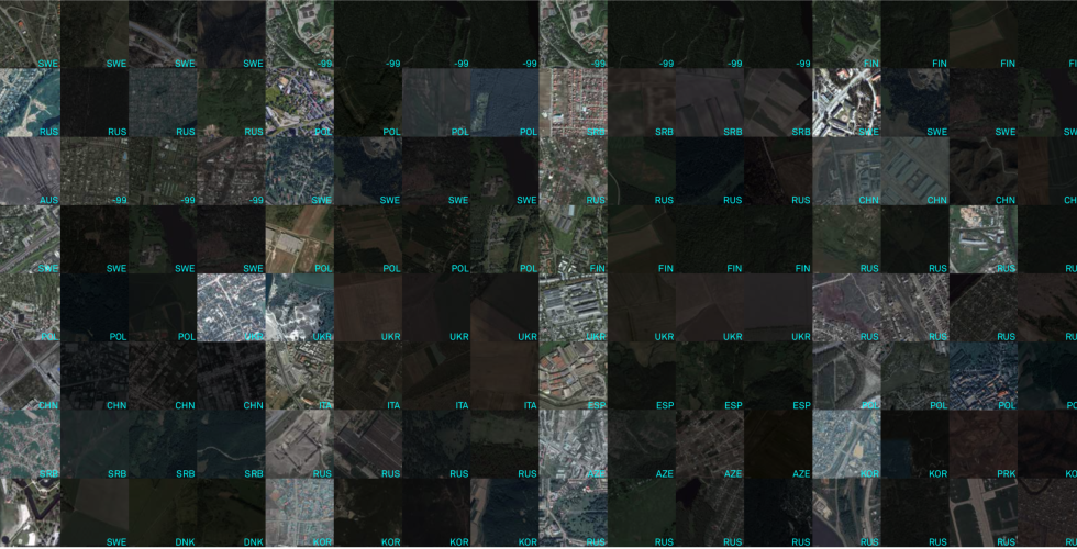
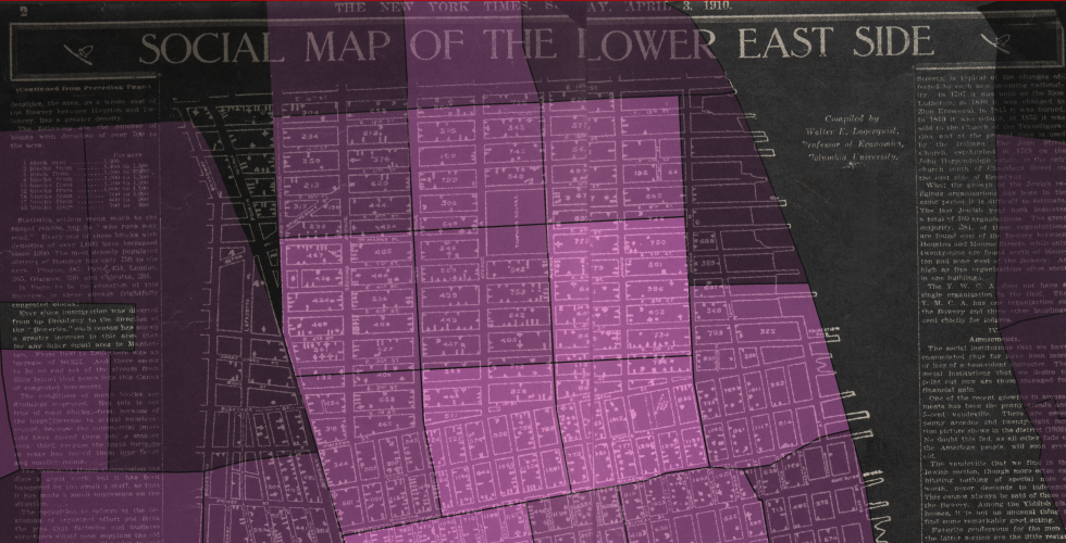
Modules in the course will include: The Cartographic View: Basic GIS concepts and techniques applied in QGIS Working with cartographic projections Making Spatial Datasets Making spatial datasets through observation and sensing Making spatial datasets through archival research Making Public Work Cartographic design principals Producing public work through interactive maps on the web
After completing the course participants will: Develop robust familiarity with QGIS and its functions Gain fluency with foundational GIS concepts (including how the GIS data model abstracts geographic phenomena) Understand GIS spatial data types and the kinds of analysis that are possible with each Create new spatial datasets from field observation and participatory sensing Create new spatial datasets from archival sources Transform archival sources into spatial datasets Develop basic familiarity with html, css, and javascript and be able to make a public web-based map Acquire fluency with visual design concepts central to cartographic representations
ARCH A4407-1 - 1.5 Credits Friday 9am-11am, Session A
Call number: 11410
Instructor: Adam Vosburgh, Adjunct Assistant Professor, Assistant Director of Computational Design Practices
Open to students within GSAS, GSAPP, Barnard and Columbia Colleges, and others by permission
View the Spring 2024 syllabus and tutorials here
ARCH A4407 - 1.5 Credits Friday 9am-11am, Session A
Call number: 11410
Instructor: Adam Vosburgh, Adjunct Assistant Professor, Assistant Director of Computational Design Practices
Open to students within GSAS, GSAPP, Barnard and Columbia Colleges, and others by permission
Instructor: Dare Brawley, Adjunct Assistant Professor
View the Spring 2022 syllabus and tutorials here