Conflict Urbanism: Colombia
Spatial analysis as a tool for transitional justice in Colombia.
On the eve of an historic and controversial peace agreement in Colombia we have launched an investigation into the spatial characteristics of the decades long conflict between multiple state and non-state actors in the country. We have provisionally titled this research Conflict Urbanism: Colombia. Our work is still in the beginning phases. We have formed a relationship with the interdisciplinary M.A. Program in Peacebuilding at Universidad de los Andes in Bogotá.
We aim to analyze and visualize the documented aspects of the conflict in Colombia in order to put forward policy recommendations for the transitional justice and peacebuilding process. These recommendations will be informed by rigorous mapping, spatial analysis, and in-depth research on the socio-historical context of the conflict. The project engages with existing efforts to construct diverse historical memory in transitional justice projects, especially those in Latin America, and at the same time brings new modes of visualizing violent conflict and its aftermath into discourses of truth and reconciliation.
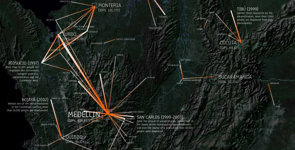
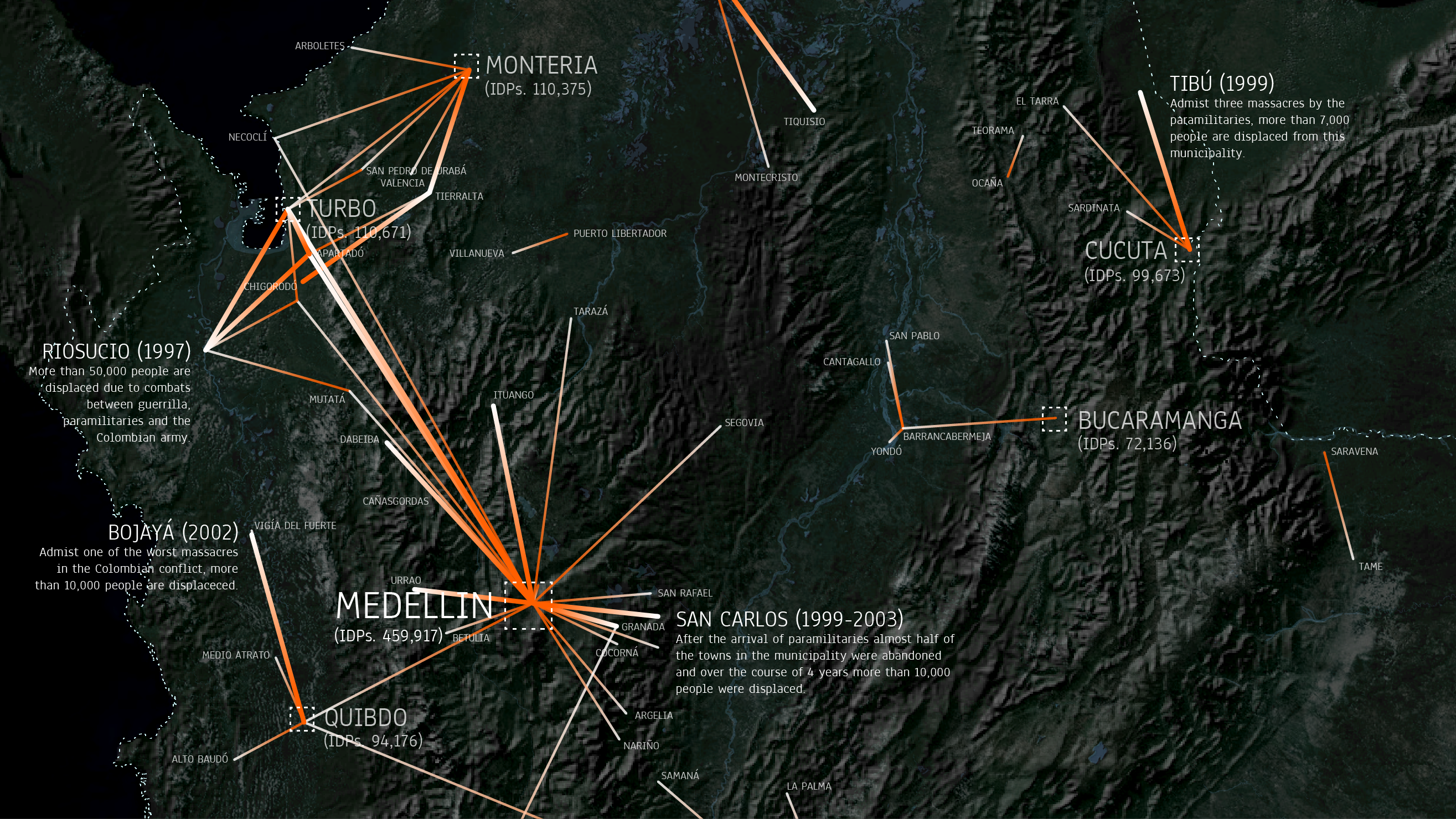 Origin and destination cities of more than 5,000 displaced people
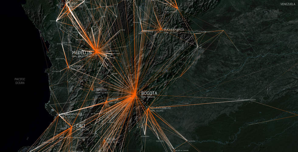
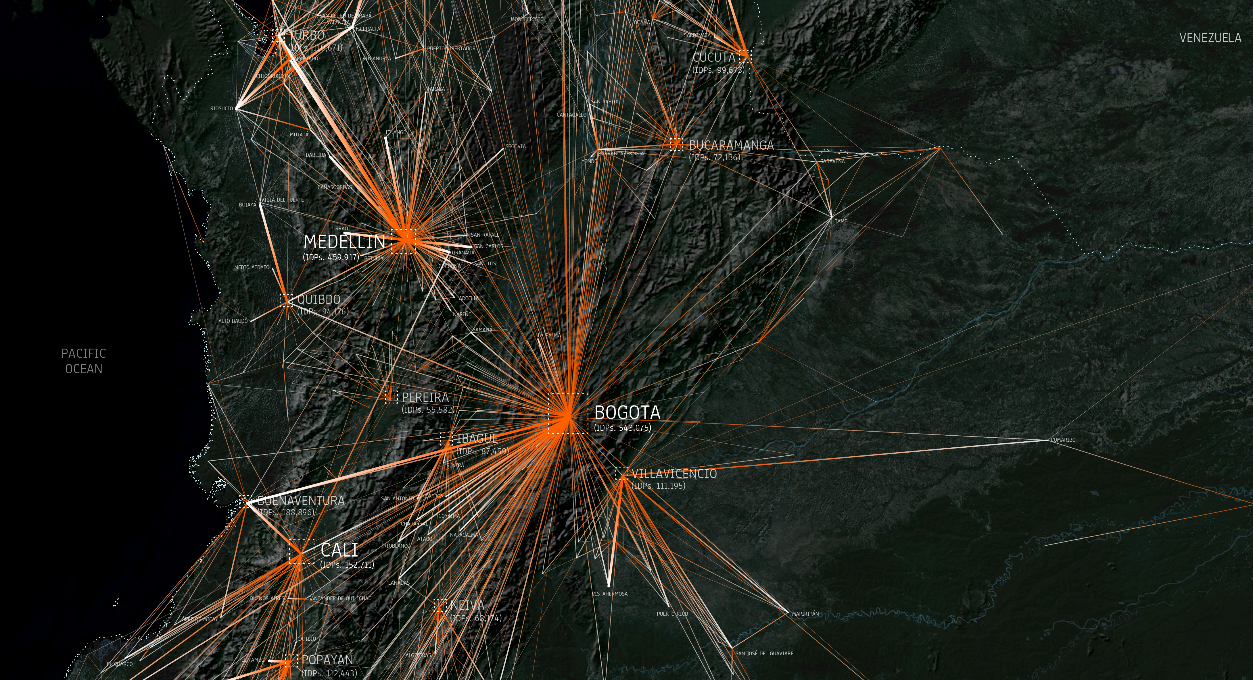 Origin and destination cities of displaced people
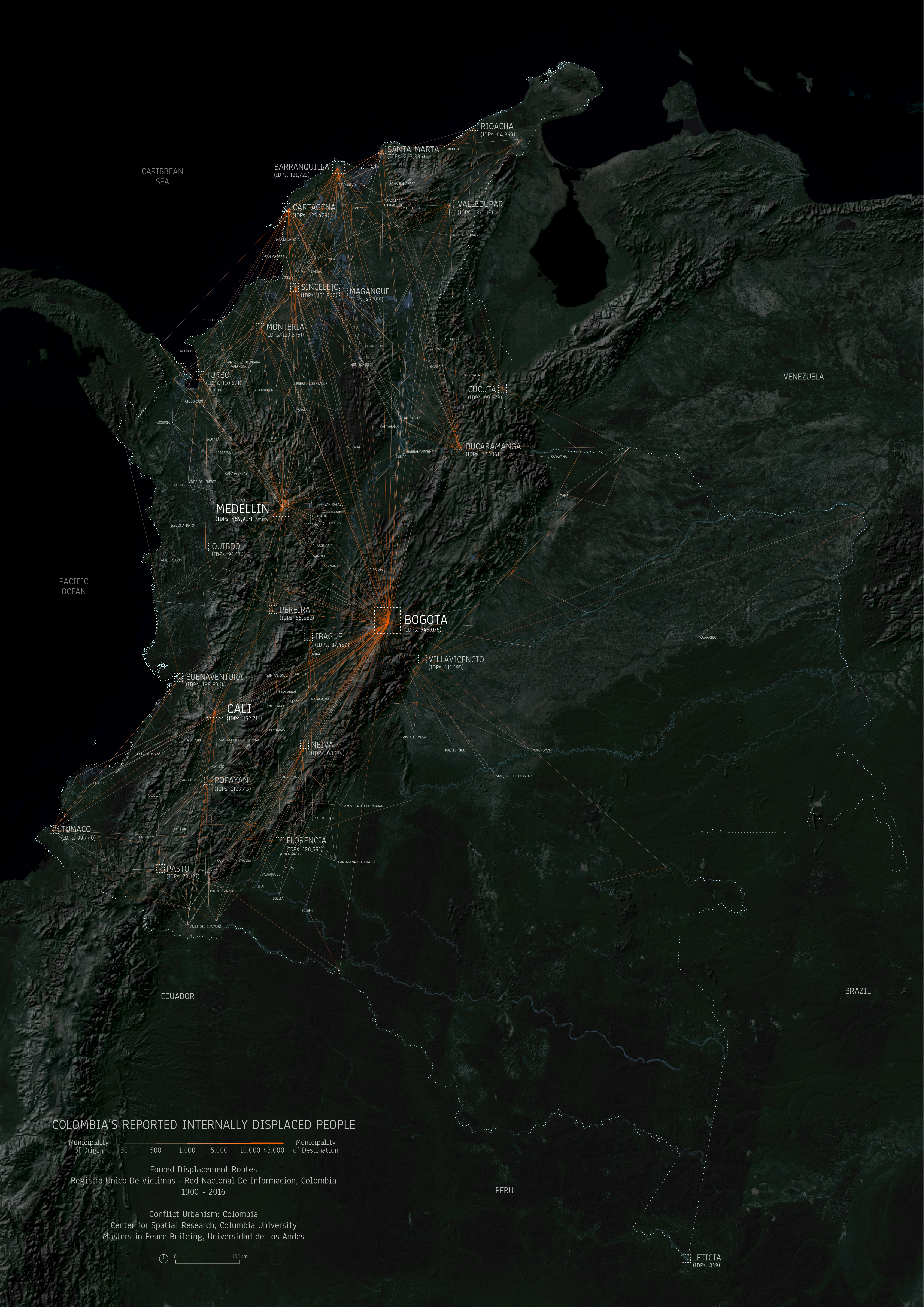
Our initial maps look at internally displaced peoples in Colombia and their patterns of migration over the course of the conflict using data from the Registro Unico de Victimas. By spatially analyzing and visualizing data about the victims of the conflict - which wasn't collected for this purpose - we are helping build the historical memory of the country, and in doing so, contributing to the ongoing peacebuilding process. In these maps lines connect cities where people were displaced to the cities where they moved to. Often we can connect large displacements with specific historic events such as significant massacres, where such as in Bojayá in 2002 when a massacre caused nearly the entire town to relocate.
