Mapping Historical New York
A collaboration to map immigration and neighborhood change in New York City during the late nineteenth and early twentieth centuries.
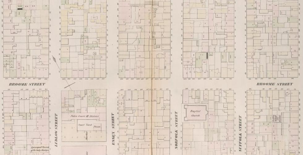
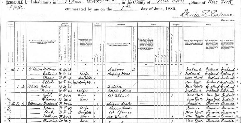
Mapping Historical New York, through web-based, interactive maps, reconstructs the demographic and structural shifts of Manhattan and Brooklyn between 1850 and 1920. During this period, the city grew and diversified through the arrival of large groups of immigrants. Furthermore, the city boundaries expanded in the late 1890s to include a major section of Long Island specifically Brooklyn and Queens. Through a three year collaboration between the Center for Spatial Research and the Department of History, Historical New York City uses historical GIS and spatial history to develop new understanding of the magnitude of the changes that took place across this time.
The project team is digitizing maps of Manhattan and Brooklyn and integrating individual-level records from historical US Censuses to build a comprehensive web-based resource for researchers and students interested in New York City’s history. In addition to producing maps and analysis for the city as a whole, the project plans to develop detailed case studies designed to deepen engagement with the digitized historical maps and demographic datasets at the neighborhood level. The resulting maps, tools, and information will be accessible to the public. In addition to the public-facing, interactive webmap, the project aims to train faculty and students in digital research and teaching methods.
Courses on historical New York, immigration, urban history, and spatial history, offered in conjunction with project responsibilities, promote faculty and student involvement in the project’s design, development, and production.
Funding for this project is provided by the Robert D. L. Gardiner Foundation.

